


DRONE / AERIAL SURVEYS
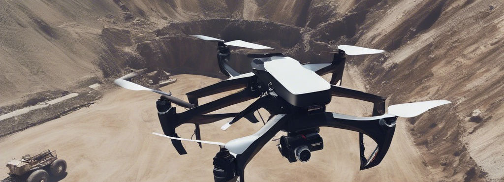
MINE SURVEY
Revolutionize mine surveying with Yogeshwar Associates' drone technology. Our advanced drones capture high-resolution data for precise mine planning, monitoring, and compliance. Elevate safety and efficiency with our tailored solutions.
Photogrammetry survey
Use our drone survey services to make a photogrammetric model of your land parcel
PIPELINE INSPECTION AND SURVEYS
Yogeshwar Associates offers efficient pipeline inspection and surveying using cutting-edge drone technology. Our drones provide high-resolution data for accurate assessments, enhancing safety and efficiency.
Industrial Inspection
By using a drone to collect visual data on the condition of an asset, drone inspections help inspectors avoid having to place themselves in dangerous situations. Yogeshwar Associates have a lot of benefits in industrial inspection covering large areas in less time
AGRICULTURAL SURVEY
We use agricultural drones for soil health scans, monitoring crop health, and planning irrigation schedules. Increase your yield exponentially with our survey reports.
Forest & Wildlife Survey
Yogeshwar associates can survey large portion of land parcels in deep forest areas which are not reachable physically. Use our expert services to avoid accidents with wildlife and still get the Job done.